Precision Underground Investigation & Utility Designation Services
Built on Experience Driven by Precision.
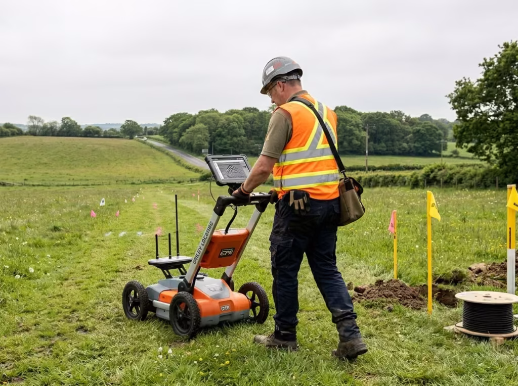
Hands-On Field Experience
Built on real-world field experience with a strong commitment to accuracy in every project.
Precision You Can Trust
Focused on delivering thorough, reliable, and precise subsurface investigation and utility designation services.
Data You Can Build On
Providing quality-level subsurface intelligence for engineering firms, construction teams, and property owners.
Specialized Underground Investigation Services
EM Utility Designation
Identification and designation of buried utilities using electromagnetic detection technology, helping you know exactly what's underground before work begins.
Ground Penetrating Radar (GPR)
Non-destructive subsurface imaging used to detect underground utilities, structures, and anomalies with a high level of accuracy.
GIS-Ready Mapping
Accurate field data prepared for seamless integration into GIS and engineering platforms, ready to use the moment you need it.
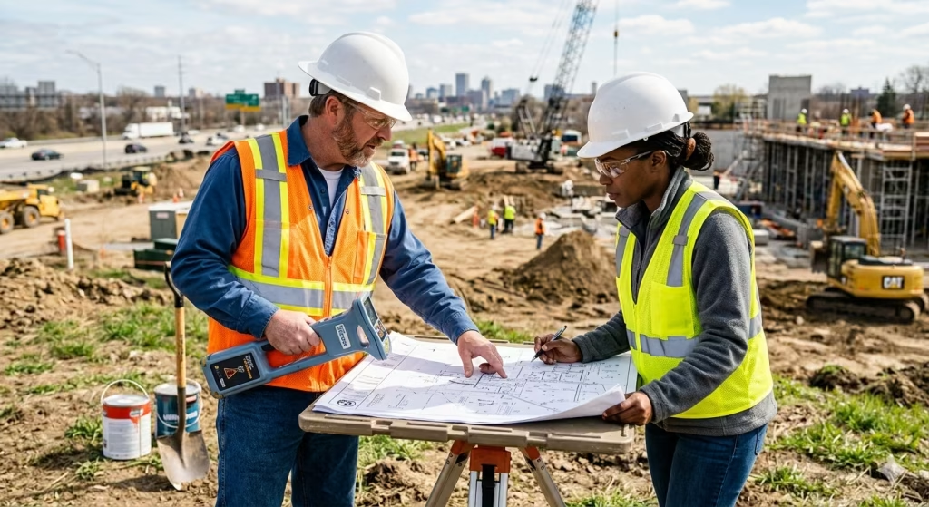
Site Planning Support
Subsurface intelligence that supports informed engineering design and land development planning before costly decisions are made.
Risk Mitigation
Location and verification of property markers and boundary points to support surveying and development projects, reducing risk and protecting your investment.
Have a Project Coming Up?
Get accurate, reliable subsurface data before you break ground. Our team is ready to help.